DENVER (KDVR) — Wednesday is a Pinpoint Weather Alert Day. The Pinpoint Weather team said snow will continue throughout the day.
Snow totals for this winter storm will be on the lower side of the forecast in the metro area for a few reasons.
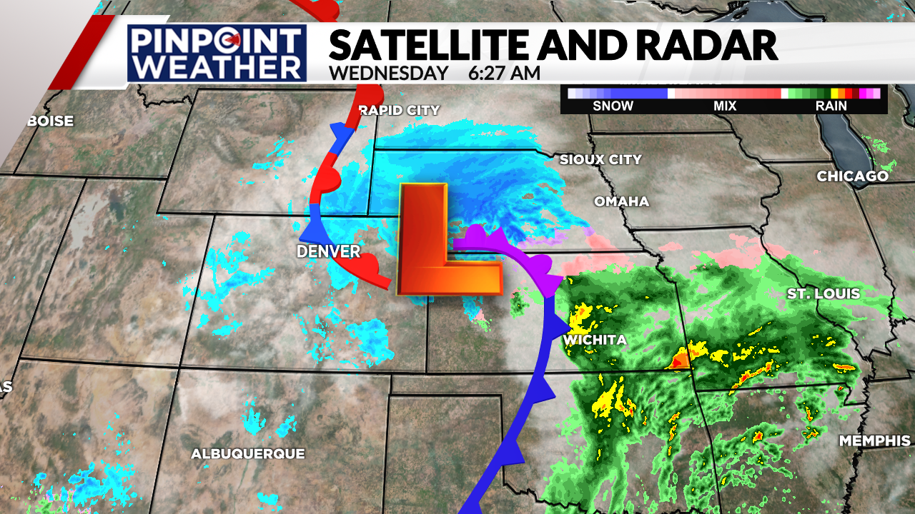
One reason is the track of the low pressure system and the amount of dry air moving into the system.

Before the snow started, most of the models showed a southerly track across the southern border of Colorado, but as it tracked across the state, the low pressure is more through central Colorado. That shift north pushed the snow further north and out of Colorado.

That track shift also allowed for drier air to move into the Front Range and Eastern Plains.
The drier air means less snow will fall and it also means that the lighter, fluffier snow that is easier to clear.

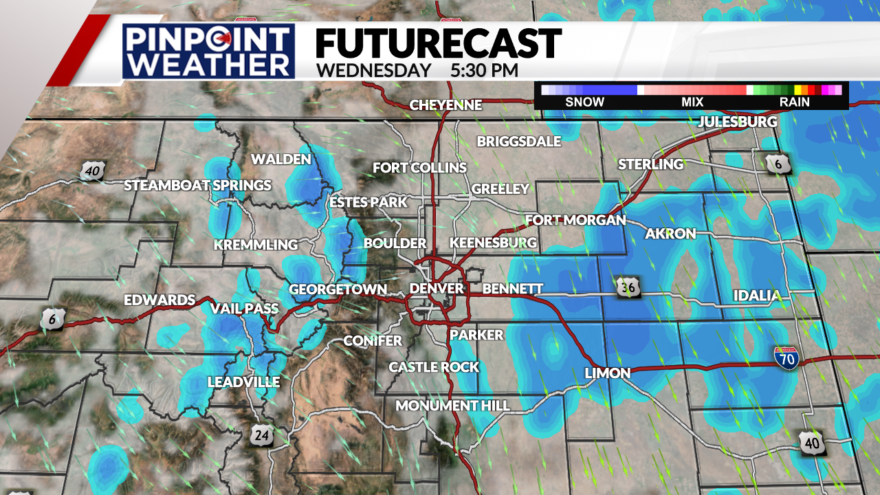
Snow showers are expected to end around mid-day in the Denver metro area and by the late evening hours across the Eastern Plains.

