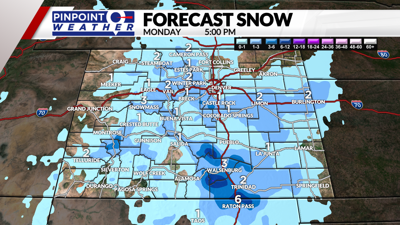
DENVER (KDVR) — A system that was once expected to be major, will now be minor, bringing light snow accumulations to Colorado on Monday.
The storm system has trended weaker each day.
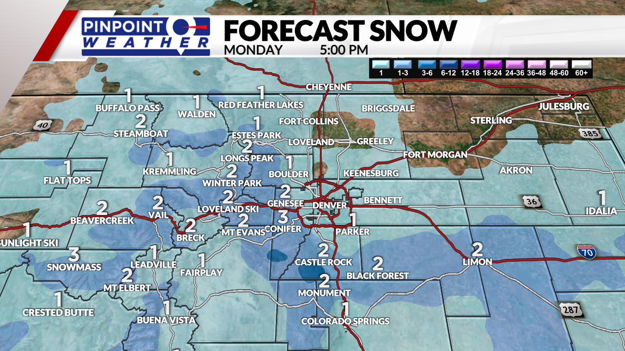
The Pinpoint Weather Team said the system will only brush Denver with scattered snow showers between 9 a.m.- 12 p.m. Denver will get one inch or less of total accumulation.
The Foothills and Palmer Divide will see higher totals of 1-3 inches between 7 a.m.-12 p.m. on Monday.
Storm timeline and totals:
- Evergreen: 7 a.m.-5 p.m.: 1-3 inches
- Denver: 9 a.m.-12 p.m.: 1 inch or less
- Castle Rock: 8 a.m.-2 p.m.: 1-3 inches
- Estes Park: 6 a.m.-12 p.m.: 1-3 inches


The ski areas can expect 2-8 inches by Tuesday.
A second tiny cold front races across the state on Tuesday midday into the afternoon with another 1-2 inches of snow expected in the mountains. There will be less than 1 inch of accumulation for the the Front Range.
You’ll also notice gusty wind across the Front Range Monday through Wednesday afternoon. Gusts of 15-40 mph are likely each afternoon.

It will be drier Wednesday through Sunday. Temperatures will reach into the 70s by the weekend.

