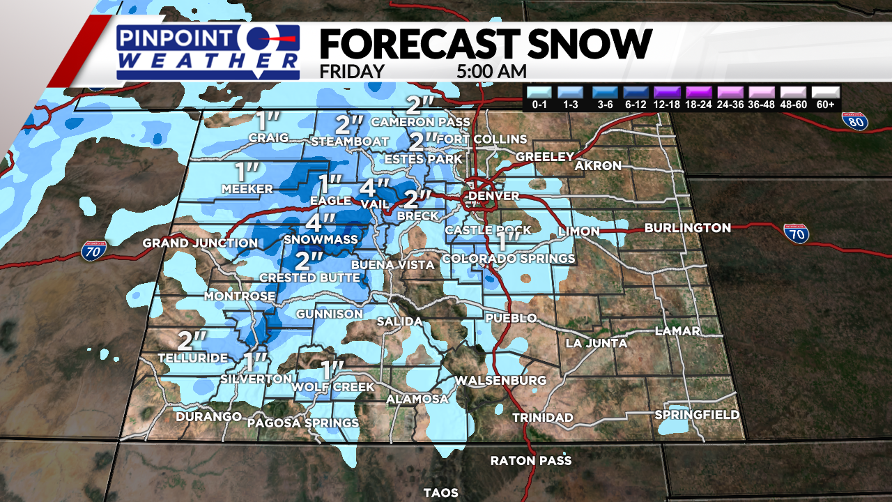
DENVER (KDVR) — The second storm of the week arrives today and tonight. The mountains will get another 1-5 inches of snow.

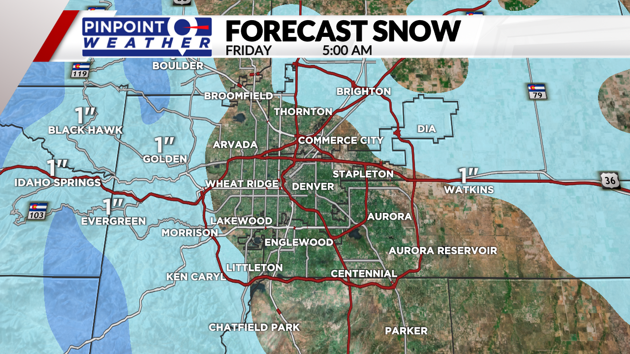
Denver’s chance for a rain-snow mix occurs 3 p.m. – 8 p.m. There will be 1 inch or less of snow for all Front Range locations below 6,000 feet. Above 6,000 feet can expect 1-3 inches, including the Foothills and Palmer Divide.

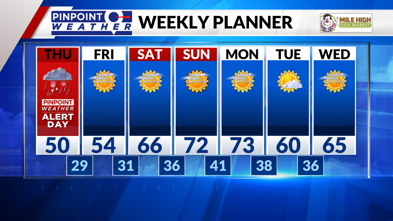
We’ve issued a Pinpoint Weather Alert for Thursday because this is our first chance for snow of the season in Denver.
Sub-freezing overnight lows continue into Saturday morning across the Front Range. It will turn drier on Friday with sunshine.
Saturday-Sunday look dry, sunny, warmer in the low 70s in Denver, Boulder, Loveland, and Fort Collins.
The next storm system on the horizon is Monday night but it could miss the state to the north.


