This is an archived article and the information in the article may be outdated. Please look at the time stamp on the story to see when it was last updated.
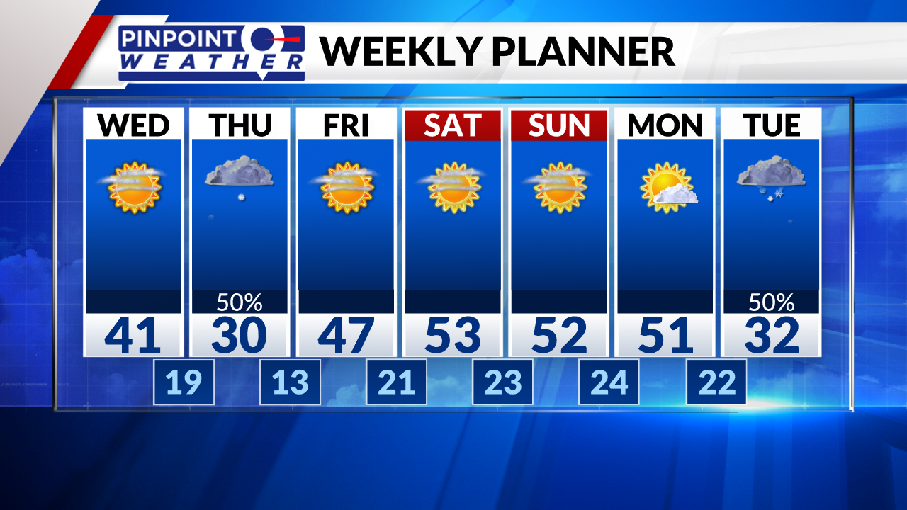
DENVER (KDVR) — We are forecasting sunny skies early Wednesday before clouds increase. Front Range highs will be around 40 degrees.
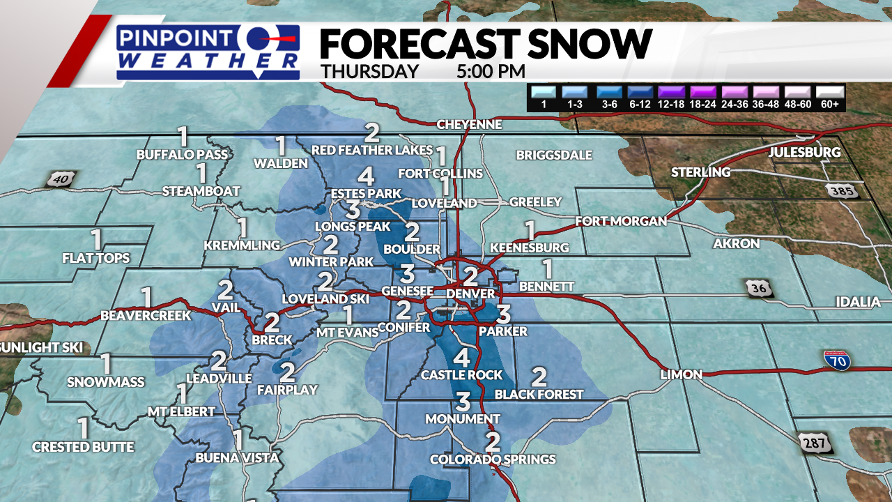
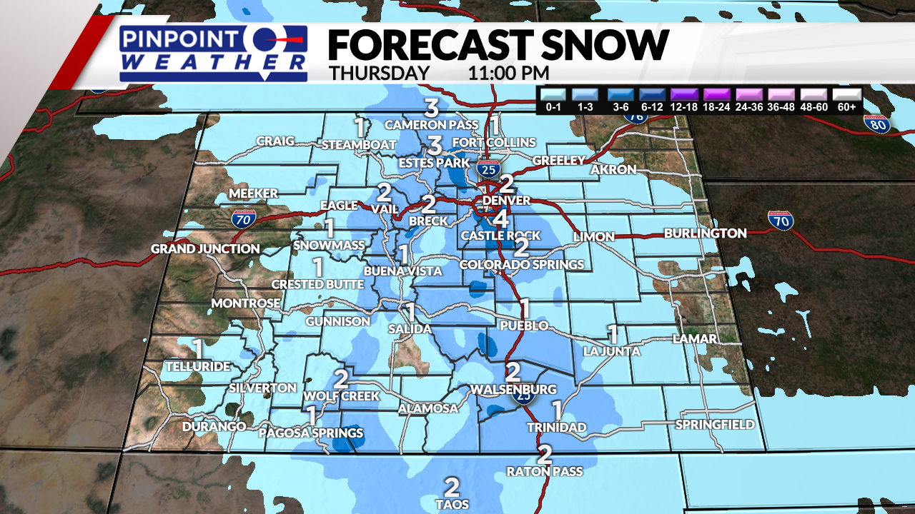
The next cold front arrives with snow between 7 a.m.-12 p.m. on Thursday for the Front Range. This cold front looks smaller and faster than Tuesday’s snow event.
- 1-3 inches Front Range
- 1-2 inches Denver
- 2-4 inches Palmer Divide
- 2-4 inches Foothills
- 1-2 inches Fort Collins
- 0-1 inch Eastern Plains
- 1-4 inches Ski Resorts


Expect clearing skies by Thursday afternoon and night.

It will be sunny on Friday through Sunday with warmer temperatures in the 40s and possibly 50s.
The next cold front will arrive on Tuesday.

