DENVER — Temperatures have dropped quickly to the 20s in Denver after hitting a high temperature of 48 degrees Saturday afternoon. An isolated snow shower can’t be ruled out on the Front Range Saturday evening, although most spots will stay dry. Colorado’s mountains will see light snow showers during the afternoon and evening.
Snow totals in the mountains will be 1-3 inches. Parts of Douglas and Jefferson counties could see a light dusting from a stay shower.
Dry weather moves in statewide on Sunday. Temperatures will be in the 30s most of the day with an afternoon high temperature of 40 degrees in Denver. Skies will be mostly sunny with breezy winds. The mountains will see stronger winds on Sunday with gusts up to 45 mph.

Winds will become even stronger on the Front Range on Monday with gusts up to 40 mph. Highs will stay in the low 40s.
Tuesday and Wednesday will be mild and dry with less wind.
The next chance to see snow on the Front Range will come late on Thursday. The Pinpoint Weather Team will keep you updated with timing and totals as the storm gets closer.
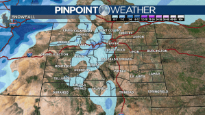
Check interactive radar and zoom in to where you are. Plus, check the radar anytime with the Pinpoint Weather App for iPhone and Android.

Pinpoint Weather has been independently certified as Colorado’s Most Accurate Forecast by WeatheRate.
We’re tracking weather today on FOX31 Denver and Channel 2 News – and when conditions are bad we send out the Weather Beast.

