DENVER (KDVR) — A spring snowstorm is on the way to Colorado. The Pinpoint Weather Team has issued a Pinpoint Weather Alert Day for Friday.
On average, Denver sees 1.7 inches of snowfall during the month of May.
But what ingredients go into a May snowstorm? Meteorologist Chris Tomer says these five factors are what make a spring snowstorm:
- Storm track
- Upslope
- Moisture
- Wind
- Cold Air

In May, often the biggest question mark surrounds number five on the list. You can have all the moisture in the world but if it’s not cold enough, then you won’t get pure snow.
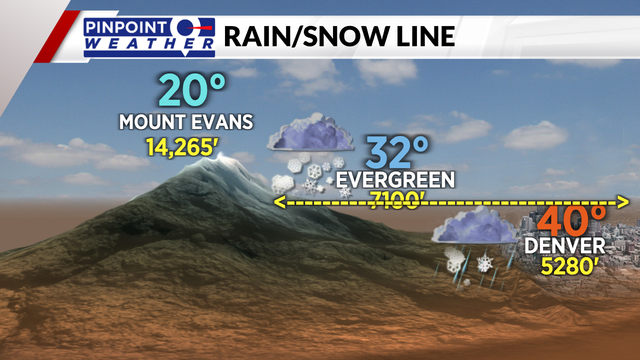
We often deal with a rain/snow line in May. Air temperatures normally decrease with altitude. Higher elevation locations normally get most of the snow, while lower elevations get a mix or rain.

Pinpointing the exact elevation of the rain/snow line is challenging and it often changes during the evolution of the storm system.

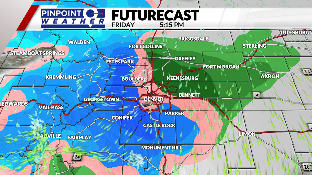
As of our Wednesday forecast update, you can expect 1-4 inches of accumulation with lots of melting in Denver.
The heaviest accumulation occurs above 6,000 feet where 4-12 inches are possible.
Top 5 snowiest May’s in Denver
These are the top five snowiest May’s in Denver according to the National Weather Service.
- 1898: 15.5 inches
- 1950: 13.7 inches
- 1978: 13.5 inches
- 1912: 13.2 inches
- 1917: 12 inches
Be sure to download the free Pinpoint Weather App to stay up-to-date with the newest data as it comes in.

