DENVER (KDVR) — Saturday and Sunday brought heavy rain to parts of Colorado’s mountains making big impacts on some of the burn scars from last summer’s wildfires.
Interstate 70 was shut down on both Saturday and Sunday because of mudslides caused by flash flooding on the Grizzly Creek Fire burn scar. The Calwood Fire burn scar in Boulder County also experienced some flash flooding on Sunday afternoon.
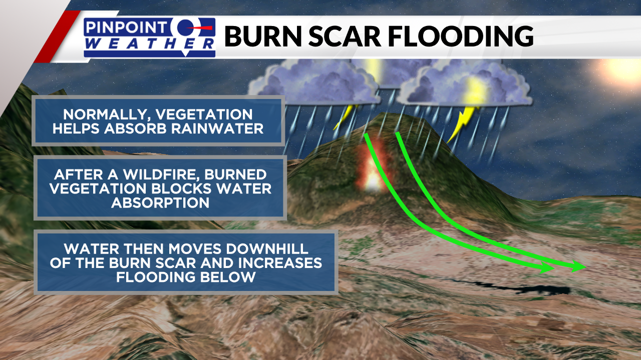
Burn scars are more susceptible to flooding because the vegetation that was burned can’t absorb water causing it to rush down the side of the mountain. This rushing water can carry debris with it and can also cause mudslides like we saw this weekend.

Looking ahead to the next five days, there is potential for more heavy rain in the mountains where the burn scars are located.
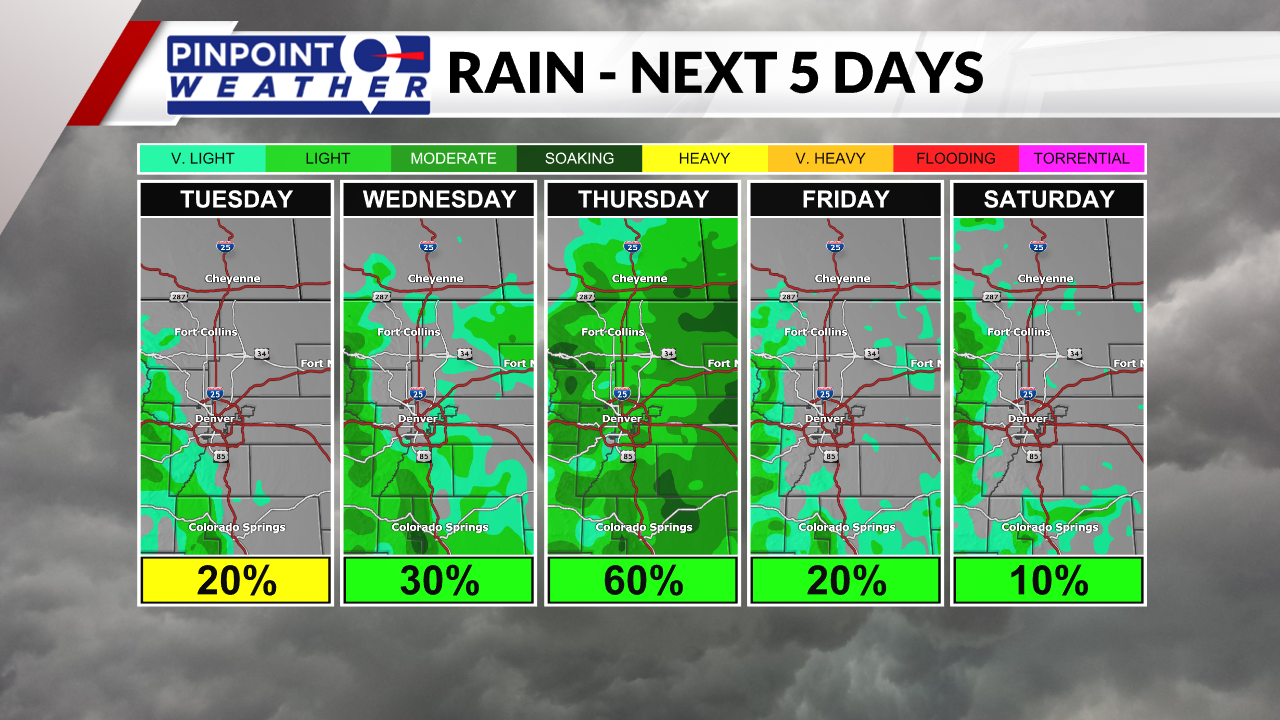
The graph below shows the forecast for rainfall accumulation over the next five days through Saturday. The pockets of yellow show areas that could potentially see 1 to 2 inches of rainfall. These areas will have a higher chance of flooding than areas in the light green that are expected to see less rain.

Breaking down the chances each day, Wednesday will have the most widespread showers and storms bringing accumulation chances to most of the plains, Front Range and mountains. The mountains will see chances for accumulating rainfall every day through Saturday.
The soil in the mountains is already wet from this weekend and will increase the flooding threat over the next few days. The Pinpoint Weather Team will keep a close eye on the burn scar and flood threats this week and will keep you updated.

If you live in an area that could potentially have flash flooding from a burn scar, make sure to stay tuned to the forecast and have a way to get alerts. If you are in an area that is experiencing flash flooding, make sure to get to higher ground until the water recedes.


