DENVER (KDVR) — An avalanche watch has been issued in Colorado’s mountains until 8 a.m. on Wednesday. This comes just days after an Avalanche Warning was issued for most of Colorado’s mountains over the weekend.
The watch spans the Steamboat and Flat Tops, Aspen, and Gunnison zones. In the warning, the Colorado Avalanche Information Center states:
"An incoming storm will bring up to a foot of Snow with
  moderate westerly winds. If we meet or exceed the upper end of
  forecast snowfall, very dangerous avalanche conditions will
  develop by Wednesday. Avalanches big enough to bury or kill a
  person will be very easy to trigger and some will run naturally."
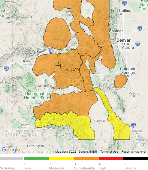
Along with the watch, the Colorado Avalanche Information Center has forecasted considerable danger (orange) for the central and northern mountains and moderate danger (yellow) in the southern mountains on Tuesday.

Scattered snow showers will fall in the mountains Tuesday through Wednesday evening bringing up to a foot of snow on some of the high peaks. When the mountains get a lot of snowfall accumulation on top of old snow, it elevates avalanche danger.
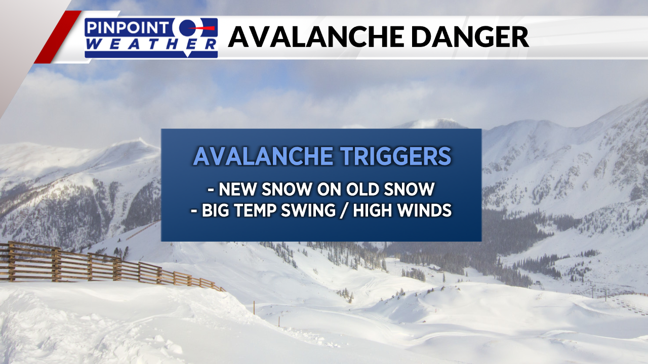
New snow on top of old snow, big temperature swings, and strong winds are all some of the main natural avalanche triggers.
Last weekend, many mountain locations saw over a foot of new snowfall. The combination of that snow and more on the way Tuesday and Wednesday will keep the danger high.

When avalanche danger is high, it’s best to avoid traveling on or underneath avalanche terrain.
Many avalanches have been reported in Colorado in the past few weeks and some of them were deadly. Always make sure to check the forecast and be prepared if you are recreating in the back country.

