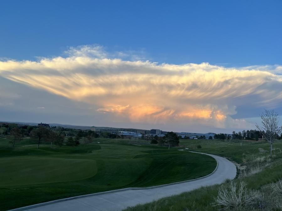
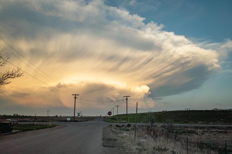
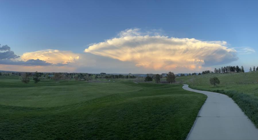
DENVER (KDVR) – As severe stormy weather was hitting the Front Range, those people who live west of Denver got to see spectacular views of the storm clouds and took photos.
FOX31 Pinpoint Weather Meteorologist Jessica Lebel said she was impressed when she saw the photos and explained just what they showed.
“It’s cumulonimbus, which is essentially a thunderstorm cloud, so what you’re seeing, that big part that goes outward is what we call an anvil,” Lebel said.
When those clouds rise up to the troposphere layer of the atmosphere, Lebel said that’s where the cloud cannot rise anymore so it spreads out horizontally and forms round edges.
Pinpoint Weather Meteorologist Travis Michels described the formation process like pouring pancake batter upside-down.
“All that hot air rises and hits the top of the troposphere, and that’s why it pancakes out,” Michels said.
Below the anvil, Lebel explains that you may see rounded pouches that are called mammatus clouds, which are caused by surrounding air rising and falling.
The photos show the structure of a mature, fully-developed thunderstorm. Lebel said this view is an outline of the thunderstorm from a distance and shows the definition of an isolated storm.
“Strong thunderstorms like that can reach up to 40 or 50 thousand feet in the sky before spreading out like that,” she said. “Typically the taller a storm is able to travel that means more instability in the atmosphere which typically leads to a stronger storm.”
She added that while Wednesday’s storms will be similar in structure, there will be more low gray clouds and it won’t be as isolated, so the view will likely be different.
Wednesday’s Pinpoint Weather forecast calls for rain and thunderstorms around the Denver metro area, with some areas at risk for severe hail and even tornadoes.


