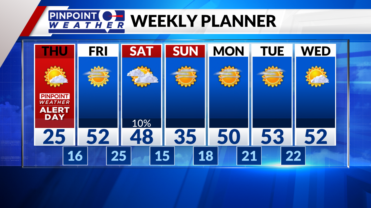
DENVER (KDVR) — Denver and the Front Range picked up 4-8 inches of snow accumulation. Snow tapers off Thursday morning, then expect partly to mostly cloudy skies with highs in the mid-20s.
The central and northern mountains can expect lingering snow and wind Thursday with another 2-6 inches of accumulation on the high peaks and temperatures in the teens and 20s.
It will be drier on Friday, briefly, then the next cold front hits the northern mountains with snow. This front arrives in Denver on Saturday with a 10% chance of a rain/snow shower.

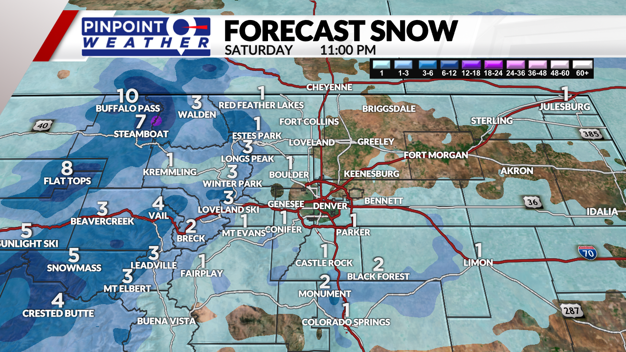
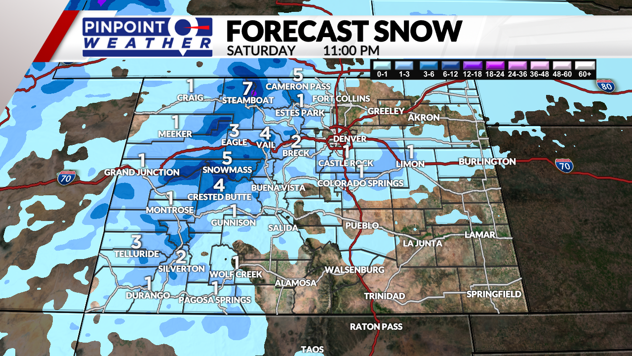
We are forecasting another 2-6 inches of snowfall in the central and northern mountains by Saturday night.


Expect colder temperatures in Denver on Sunday behind this front, with highs in the 20s and 30s and dry conditions.

