DENVER (KDVR) — It is feeling and looking like winter in Colorado’s mountains today as a strong cold front brings accumulating snow along with a big cool-down. It is not unusual for the mountains to start seeing snow this time of year, but after a hot and dry few months it is an exciting change.
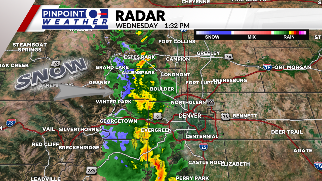
Around 1:30 p.m. on Wednesday, Doppler radar showed snowfall in the blue color up on Colorado’s high peaks. Almost all of the state has seen below average precipitation this month so the rain and snow are a welcome sight.
The snow level will reach down to about 10,000 feet on Wednesday and Thursday. Places above 12,000 feet could pick up several inches of snow before the storm system wraps up.

The photo below shows snow and fog on top of Pikes Peak Wednesday afternoon. Surprisingly, some of the cameras captured guests still visiting the peak despite the bad weather conditions.

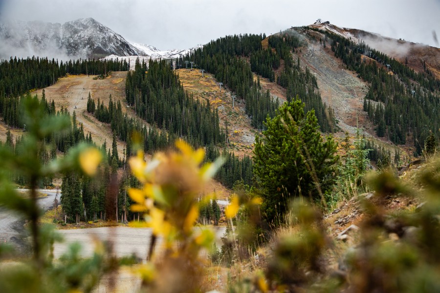
This snowfall is positive news for Colorado’s ski areas that are aiming to open in the next month or two. The photo below shows a dusting of snowfall at Arapahoe Basin taken by Ian Zinner.

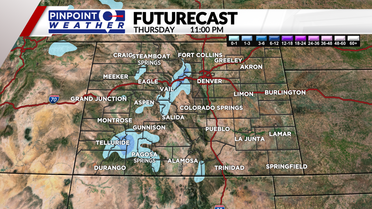
Looking ahead, there is still a chance for some of the central mountains to see up to 3 inches of accumulation by Thursday night. The San Juan mountains will become the focus of the snowfall Thursday afternoon and evening with up to 4 inches of accumulation possible above 12,000 feet.


