DENVER (KDVR) — We are forecasting one last dry day with a high of 65 degrees in Denver and the Front Range. Sunshine with high cloudiness.
The mountains start dry then snow develops tonight into Wednesday. 2-4 inches of accumulation.
We are expecting a rain/snow mix in Denver and across the Front Range overnight Tuesday and into Wednesday morning’s rush hour.
Then there will be a break in the action.
Another cold front arrives Thursday-Friday with 2-4 inches of mountain snow. Rain/snow mix possible in Denver on Thursday. Then snow showers on Friday with light snow accumulations across the I-25 Corridor. Colder highs.
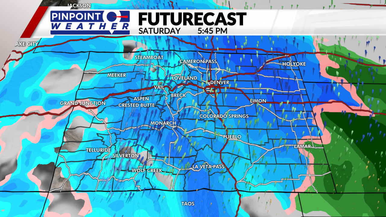
We are focused on a larger storm system for Saturday-Sunday. Heavy snow accumulations possible in Denver, Eastern Plains, Foothills, and Palmer Divide. A foot or more possible in Denver, Boulder, Loveland and Fort Collins by Sunday night. Colder highs in the 20s and 30s.


